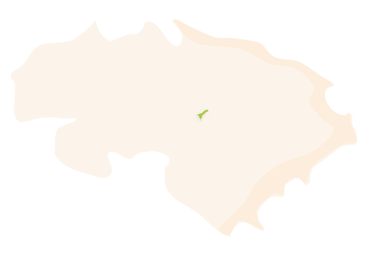
La Llosa de Camatxo is a village that constitutes a Smaller Territorial Area Entity with the municipality of Alcalalí. It is located in the geographical centre of La Marina Alta, at the foot of La Solana. The village lies within a narrow valley that is oriented towards the southwest, nestled next to the Castell d'Aixa mountain, or —as they call it in Pedreguer— La Muntanya Gran (The Great Mountain). Located at 218 metres above sea level, it has a population of 202 inhabitants, who are known as Llosers and Lloseres.
 Municipal district of La Llosa de Camatxo. Area -- km². Inhabitants 202 (data INE 2021).
 HISTORY
The village is located in a valley formed by the mountain ranges of El Seguili and Castell d'Aixa. The El Seguili mountain range separates Llosa de Camatxo from the municipalities of Orba and Benidoleig and it divides into two parts at the eastern end, El Tossal Verd and La Lloma de La Borrega, together forming El Barranc de La Parra. The mountain range of La Solana forms a natural border with the municipality of Xaló with the northern slope, called Ombria, and the centre of the valley, constituting the agricultural exploitation area of the village. The agriculture present in the area is dry land farming, with almond trees, olive trees, carob trees and vineyards. During the 20th century, lemon trees filled up a large part of the cultivable area, some of which could be considered monumental due to their dimensions.
Three ravines are born and run through the high part of the area of La Llosa: the ravine of La Font, which belongs to the basin of the River Xaló and runs from northeast to southwest, and those of La Parra and La Llosa, which run from southwest to northeast. All of them remain dry for a large part of the year due to the limited rainfall in the region. The great amount of water available should be highlighted, as well as the fact that it is provided by numerous natural springs that appear in various places in the area known as L’Ombria. Although the flow rates are small, the water quality is excellent. The springs of El Xorret (standing at just 200 metres from the village centre), La Coma, El Clot, L’Olivera and El Racó, amongst others, stand out for the quality of their water.
The oldest remains discovered near the village are some materials near L’Ocaive that date from the Bronze Age.
As for the urban centre, it seems that its origin dates back to the Andalusian period. La Llosa was a guesthouse located on the road known as Camí Vell de Dénia, under the watchful eye of the castle of L’Ocaive, situated in front of the village, about two kilometres away, where, according to the documentation available, there was a farmstead.
Upon the arrival of the Christians, Jaume I gave this guesthouse to Andreu Puigvert, but it gradually became deserted during the 15th century. In 1506, the place was acquired by a local person who had the last name “Camatxo”, hence the nickname of La Llosa, used to differentiate it from the rest of the Valencian settlements with the same name. In 1535, La Llosa appeared in documents as an annexe of the parish of Alcalalí, which at that time had five houses with Moorish families that became empty after the expulsion of 1609 and were later repopulated.
The current church dates from 1749 and was built on top of a pre-existing one. It was finally separated from the parish of Alcalalí in 1972. Before that, in 1876, La Llosa lost its status of municipality and was absorbed by Alcalalí, but in 1996 that status was recovered by decree of the Valencian Government and it was established as a Smaller Territorial Area Entity (EATIM).
FESTIVITIES
- The festivities in honour of the patron saints Antoni and Roc, are held during the first and second weeks of August.
- Llimafest is a music festival held in August.
GASTRONOMY
- Traditional handcrafted honey.