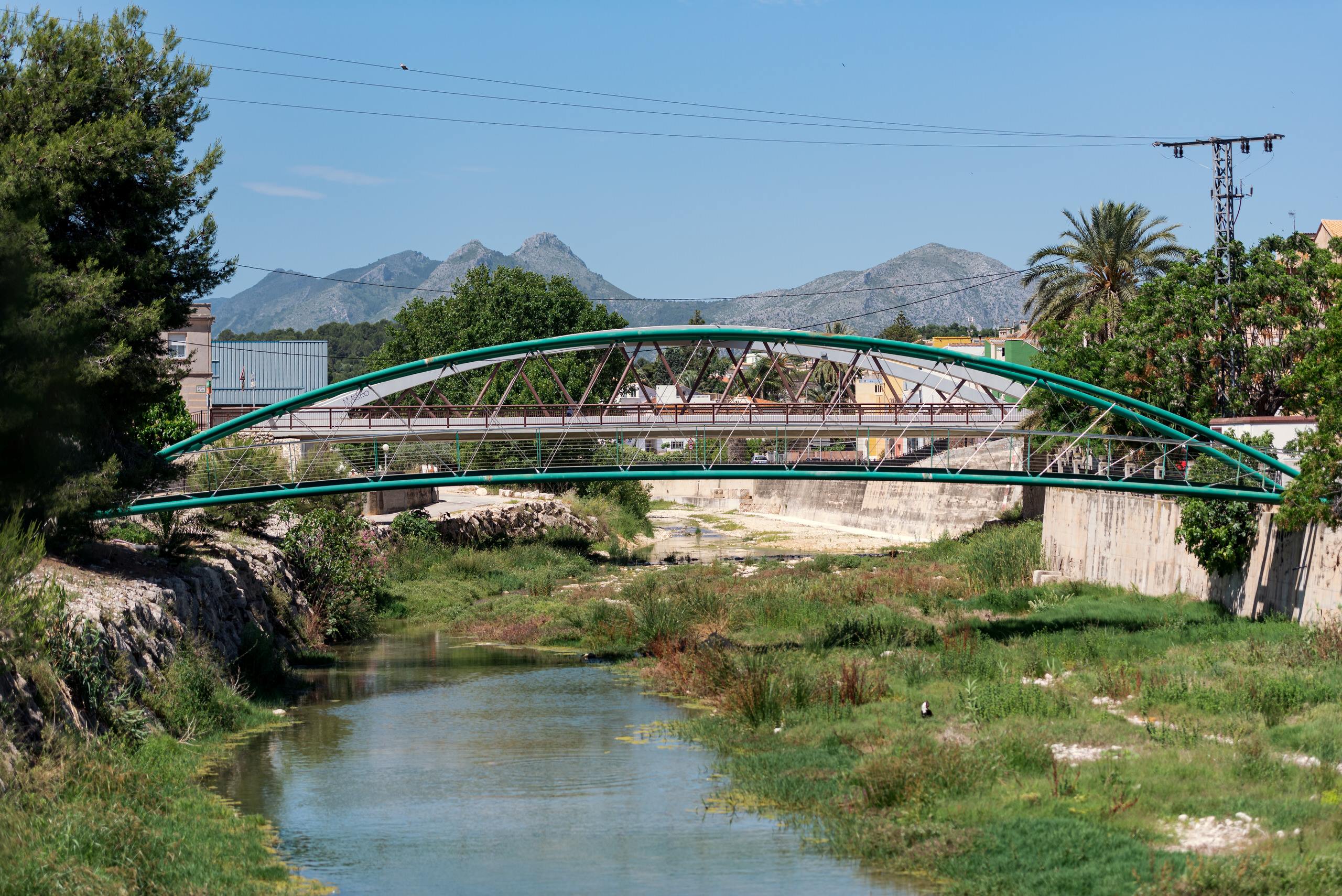
The aim of this experience is to travel along the River Girona to discover the surrounding natural landscapes, appreciating the flora and fauna that inhabit it. The great environmental value of the natural areas through which the Girona flows is particularly noteworthy, with abundant low-lying vegetation such as palmetto, reed beds and red bryony. Depending on your mood and the time available, there are two different ways to enjoy the river.
A LITTLE HISTORY. We know where we come from to decide where we are going.
The emblematic River Girona, a watercourse of just over 37 km in length with a seasonal flow, also known as the River Ebo, rises in the Barranc de la Fontblanca, near Alcala de la Jovada, thanks to the confluence of run-off and small torrents, and it flows into the Mediterranean Sea at Almadrava Beach. It runs through the Carrasca mountain range and is fed by clear-water springs and fountains, such as the Font de Reinós, the Font del Camussot or Olbis. On its course, it passes through the municipalities of Orba, Sagra, Ràfol d'Almúnia, Benimeli, Sanet i Negrals, Beniarbeig, Ondara, El Verger, Els Poblets and Dénia. Along the route, we find one of the most spectacular areas: the Greger ravine, also known as the Hell Ravine, a narrow canyon that water has carved into the limestone.
It highlights the beauty of the gorges, ledges and potholes carved into the white limestone, through which water hides for most of the year. Very close by is the Ísber Reservoir, with a dam built in 1945, now disused.
Advice for the routes
- Bring comfortable footwear and water.
- Respect nature and the architectural remains.
- For more information, consult the tourist information offices.
SUGGESTED ITINERARIES. Step by step, we make our way.
Orba
Stage 1: Route from Orba to the Ísber Dam
We set off from Orba. At the lower end of the village there is a car park and we need to look for the PR-CV-368, which takes us to the River Girona, passing in front of the cemetery and through extensive allotments. On reaching the river, we turn left and ascend a gentle slope, crossing cultivated fields and abandoned areas. We follow the path running parallel to the river, ignoring the diversions towards the ravine of the Foia del Conill and the Corral del Cigró. We continue straight on until we reach the Ísber Dam. Along the way we will come across a corrals area with livestock (heifers and bulls) and, further on, we join a track leading to the dam, which we follow to the end. There we will cross to the other side to find the track that climbs up to the dam. On arrival, we will find a fence and follow it along its side to a pass that allows us to access the cut path, leading to the dam and a ladder with no access.
From the base we can observe the gorge walls and, during periods of heavy rainfall, the spectacle of water spilling over the dam. Today it is a symbol of the 20th-century Valencian hydraulic engineering legacy. Despite its technical failure, it is preserved as a testament to the economic and agricultural transformation of the Marina Alta, and as a prominent scenic and geological landmark of the Barranc de l'Infern. We continue along the path, enjoying the views of the gorge, until we reach the tunnel that crosses to the other side, where we rejoin the River Girona and, shortly afterwards, a tarmac track which we leave to take a path on the left back to the Orba car park. It is a circular route of about 4-5 km, with no difficulty and little elevation gain, which follows sections of the river's course. The duration is approximately 2 hours. Recommended for spring or autumn. The river is generally dry and, if not, it is advisable to avoid the route as a precaution. It is recommended to bring a torch to be able to cross the tunnel.

Beniarbeig
Stage 2: Safe Route of Lower Girona
The route begins in Beniarbeig, at the sports centre as the starting point. We follow the path laid out as a greenway, running along the corridor in the lower part of the River Girona, which is wider, more visible and runs parallel. The route defines the area's landscape and provides a continuous sense of a river valley. It is worth mentioning the riverside recreational area in Beniarbeig, which has been equipped with tables, shade and a rest area, including a natural swimming pool in the river. It is ideal for a short walk and a stop to cool off or have a picnic.
We will continue on to Ondara. If we fancy, before carrying on we can take the opportunity to have a wander and visit some of the town's architectural gems, such as the bullring (an example of Mudéjar architecture), the trinquet (one of the oldest in the Valencian Community), the wash-house or the Clock Tower. If we continue along the path by the swimming pool, we reach the Verger football pitch. Here the stretch becomes more open and natural, with denser riparian vegetation. It's worth visiting the Casa del Trapig, a 16th-century sugar mill where sugar cane was processed into molasses to make sugar loaf. Years later, it would be used as an olive mill to make oil.
From there we continue towards the coast until we reach Poblets, the last village on the lower course of the River Girona, the main artery that runs through the entire municipality, shaping the landscape from the river's wide bed to its mouth at Almadrava, an iconic, wide and tranquil pebble beach that can be open or closed off by sand depending on the season. It is highly recommended to go and watch a sunset. Once here, don't miss the Mira-rosa tower, part of the town's defensive system, which served for coastal surveillance against Barbary raids and for defence. It probably originates from an old Arab tower, which was later transformed by the Christians into a medieval tower after the occupation of the territory in the 14th century.
It is a return route, very flat and straightforward, with virtually no elevation gain, that follows the river corridor. The duration is approximately 2 to 4 hours, depending on the distance and the visits we wish to make. The section to Poblets is about 4.5 km, but we can adapt it to our needs, bearing in mind that we then have to make the return journey. Recommended for any time of year, always with the appropriate equipment, whether on foot or by bicycle.
*This experience is designed to be done in two stages, corresponding to two different days. We suggest some routes, but each person can adapt the experience to their abilities, physical stamina and interests. If you would like more information or places to visit in each town, you can visit the Descobrim la Marina Alta website and adapt the experience to your own tastes with your rucksack.
AND MORE. At the table and in bed at the first cry.
 Where to buy |  where to eat |
 where to sleep |  Activities and others |